8,8 km | 10,2 km-effort


Utente


Applicazione GPS da escursionismo GRATUITA
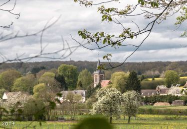
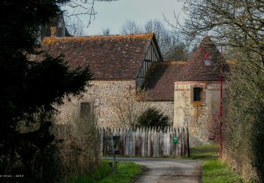
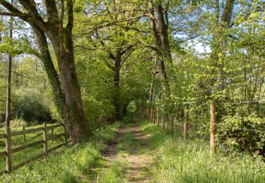
Percorso Marcia di 6,1 km da scoprire a Normandia, Orne, Tourouvre au Perche. Questo percorso è proposto da ODDAD78.
Pique-nique ?

![Percorso Marcia Tourouvre au Perche - [Itinéraire] Parcours de découverte de la Réserve de Bresolettes - Photo](https://media.geolcdn.com/t/375/260/8e304002-6848-4d50-9971-301dd63ddb71.jpg&format=jpg&maxdim=2)
Marcia


Marcia


Marcia


Marcia


Marcia

![Percorso Mountainbike Tourouvre au Perche - [Itinéraire] Les ruines du château de Gannes - Photo](https://media.geolcdn.com/t/375/260/ext.jpg?maxdim=2&url=https%3A%2F%2Fstatic1.geolcdn.com%2Fsiteimages%2Fupload%2Ffiles%2F1524743154velo.jpg)
Mountainbike

![Percorso Mountainbike Tourouvre au Perche - [Itinéraire] Les dix villages - Photo](https://media.geolcdn.com/t/375/260/ext.jpg?maxdim=2&url=https%3A%2F%2Fstatic1.geolcdn.com%2Fsiteimages%2Fupload%2Ffiles%2F1524743154velo.jpg)
Mountainbike

![Percorso Mountainbike Tourouvre au Perche - [Itinéraire] Le Tremblay - Photo](https://media.geolcdn.com/t/375/260/ext.jpg?maxdim=2&url=https%3A%2F%2Fstatic1.geolcdn.com%2Fsiteimages%2Fupload%2Ffiles%2F1524743154velo.jpg)
Mountainbike
